



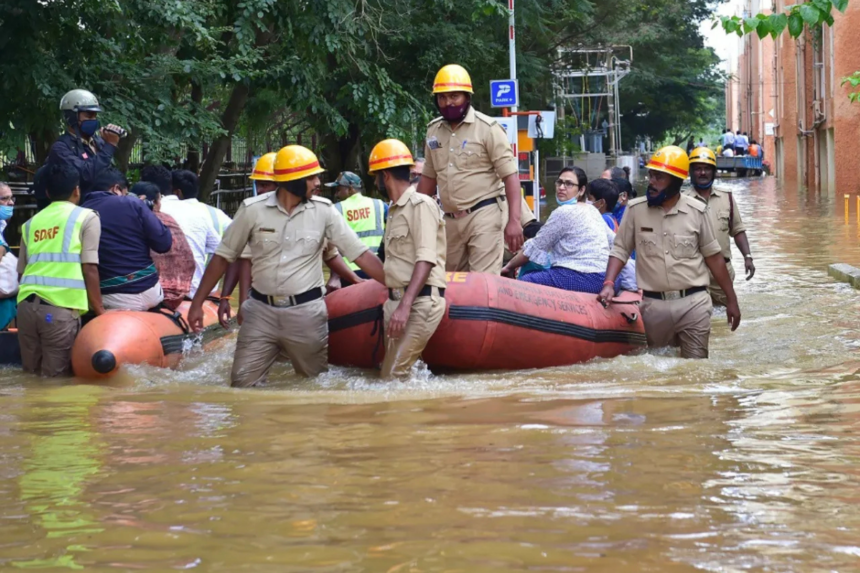
The new AI-based system will predict urban flooding, issue early warnings, and help authorities respond faster during heavy rainfall.
The Andhra Pradesh government has launched an AI-powered City Flood Alert system designed to predict urban flooding, provide early warnings, and help authorities respond more quickly during heavy rainfall.
Developed by the AWARE Division of the Real-Time Governance Society (RTGS) in partnership with the Andhra Pradesh State Disaster Management Authority (APSDMA) and experts from IIT Gandhinagar, the platform combines artificial intelligence with advanced flood forecasting technologies to improve disaster preparedness.
AI to Predict Flooding Before It Happens
The City Flood Alert platform integrates AI, predictive analytics, satellite-based terrain mapping, and hydrological modelling to forecast flood risks before they occur.
The system can:
- Predict rainfall up to 48 hours in advance.
- Issue flash flood warnings up to six hours ahead.
- Identify flood-prone locations at the ward level.
- Automatically send alerts to government officials when flood risks increase.
The aim is to help authorities take preventive action before flooding disrupts communities.
Vijayawada First to Use the System
The platform will initially be deployed in Vijayawada, a city that has experienced repeated flooding during periods of intense rainfall, particularly in low-lying areas affected by the Budameru stream.
To improve forecasting accuracy, officials created a high-resolution Digital Elevation Model using satellite imagery. The model maps the city’s terrain, drainage networks, and flood-prone locations on a ward-by-ward basis.
The predictive system also draws on nearly 30 years of historical Budameru flood data to simulate how flooding could develop under different rainfall scenarios and estimate possible inundation levels.
Helping Authorities Respond Faster
Beyond forecasting, the platform is designed to support flood prevention measures.
It can identify drainage channels where silt accumulation may cause waterlogging or backflow, allowing municipal authorities to clear blockages before heavy rain arrives.
When a flood threat is detected, the system automatically sends alerts and risk assessments to APSDMA, enabling the authority to issue warnings to district collectors, municipal commissioners, ward-level officials, and emergency agencies.
According to the state government, the warnings will help authorities:
- Clear drainage systems before storms.
- Reduce urban waterlogging.
- Deploy emergency response teams earlier.
- Evacuate residents from vulnerable areas when necessary.
Expansion Planned Across Andhra Pradesh
Following its rollout in Vijayawada, the government plans to extend the City Flood Alert platform to all urban local bodies across Andhra Pradesh.
Cities and towns will undergo digital terrain mapping and flood-risk assessments as part of the expansion, creating a statewide early warning network for urban flooding.
The Andhra Pradesh government said the initiative is intended to move disaster management away from a reactive response model towards a predictive and preventive governance system, using AI and real-time data to improve public safety and reduce the impact of extreme weather.